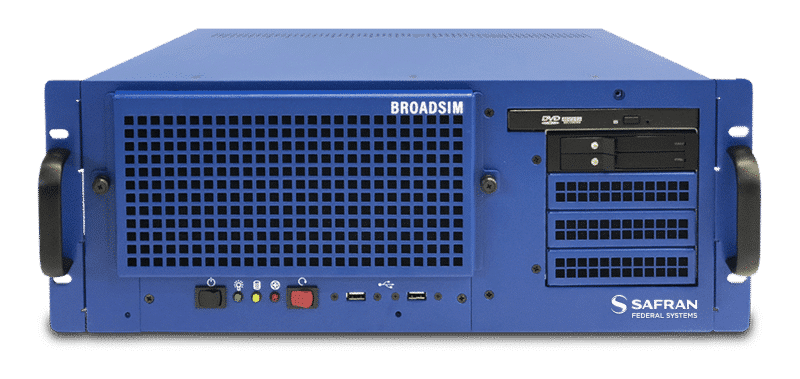
Skydel BroadSim GNSS Simulation Platform
Revolutionary Software-Defined GNSS Simulator
BroadSim is a revolutionary software-defined GNSSGlobal navigation satellite system (GNSS): A general term describing any satellite constellation that provides positioning, navigation, and timing (PNT) services on a global or regional basis. See also simulator that allows users to model true and spoofed signals, whether they are encrypted or unencrypted.
Powered by our Skydel GNSS simulator engine, Broadsim supports multiple constellations including GPSGlobal Positioning System is a navigation satellite system. See also, GLONASS, Galileo and BeiDou. BroadSim handles a variety of encrypted signal types such as GPS L1/L2, Y, and AES M-Code. MNSA (Modernized Navstar Security Algorithm) is also available, raising testing capabilities to their fullest potential.
ADVANTAGES
-
Field Testing Excellence
-
NAVWAR Testing Made Easy
-
MNSA M-Code
USE CASES
CASE STUDIES
REQUEST A QUOTE
FEATURES
- All-in-view satellites simulation
- MNSA M-Code
- Advanced Spoofing
- NAVWAR (Navigation Warfare) Testing
- Advanced Jamming
- 1,000 Hz iteration rate
- Low-Latency Hardware-in-the-Loop
- Ultra-High Dynamics
- User-defined waveforms
- Live Sky Time Synchronization
- On-the-fly scenario reconfiguration
- 6 degrees of freedom (DoF) receiver trajectories
- Flexible licensing
- In-field upgradeability
- Simulate hundreds of satellites in real time
- Multi-vehicle simulation
- API (Python, C#, C++, Labview)
- Scalable architecture using software-defined radios
- IQ file generation and playback
SPECS
- Operating System: Custom Linux for security and performance
- Signals:
- GPS Open: L1-C/A, L1C, L1-P, L2-P, L2C, NavIC L5;
- GPS Encrypted: L1-M-AES, L2-M-AES, L1-MNSA, L2-MNSA
- GLONASS: G1, G2;
- Galileo: E1, E5a, E5b, E6, E6PRS, E6 HAS, E5AltBOC, PRS-Noise, HAS-Noise;
- BeiDou: B1, B2, B1C, B2A;
- QZSSQZSS is a regional satellite system in the Asia/Pacific Region. Developed and maintained by the Japanese government, this satellite constellation provides similar services as GPS: location, navigation and timing.: L1-C/A, L2C, L5
- SBAS: WAAS, EGNOS, MSAS, GAGAN, SDCM
- Custom Signals


Skydel
GNSS Simulation